Our mission is to enable millions more to cycle. As independent experts we are able to offer a range of impartial advice, guides, reviews, inspiration and routes to help you experience the joy of cycling. We also have community projects and a network of thousands of clubs, groups and events
All about bikepacking

Multi-day off-road adventures by mountain bike – the best bikepacking tips and advice


Comments
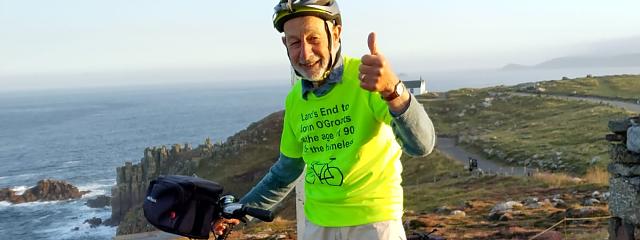
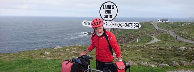
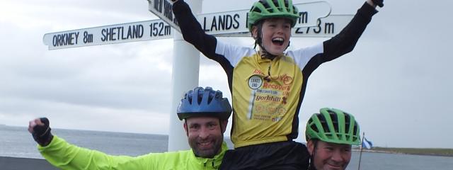
End to End
I need help planning route to this years End to End attempt(solo/camping). The CTC packet helps but its not always clear. I need to be able to find campsites along the way without the internet. No GPS for me.
End to End planning
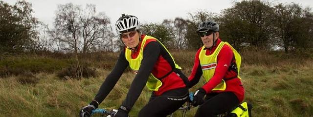
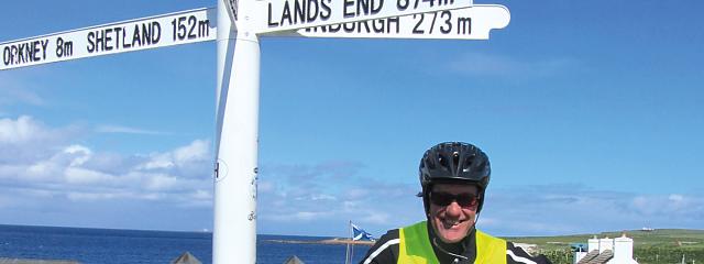
Last year I successfully completed the End to End cycle in 10.5 days (total 1007 miles) using good old fashioned maps and a compass. Admittedly there were times when the road systems through towns were confusing but there were always helpful locals who could advise on the best routes. First, plan where you want to visit on the way. There are numerous routes and you might as well enjoy the experience unless you are trying to break a record. My main advise is, where possible avoid the major A roads, particularly the A30 from Cornwall. Many of them are just motorways in disguise and the white line down the side is no protection at all. I found it useful before hand to read local information on particular roads and was horrified how many accidents involving cyclist there were on some (sadly including LEJOGgers). The down side is that B roads sometimes take more hilly routes but a good map can help and you are rewarded by seeing some of the most beautiful regions of Britain. Even if you don't have access to the internet on the journey it is good planning to work out where you intend to reach each day and make a list of local campsites with phone numbers and mark them on your maps. The last thing you want is to struggle to find somewhere after a long days cycle.
Check before hand what availability they have and most importantly whether they are still open. The most important thing is enjoy it. Good luck.
End to End Planning
A good summary of a tough journey and one to be built on when planning the route.
When I travelled the route I always had a plan B and above all was FLEXIBLE.
Richard Gillanders
LEJOG End to End journey
Thank you for the excellent info that helped me a lot on this ride by unicycle:
https://plus.google.com/collection/EY7FMF